Radiation readings raise concerns at site of 550 planned homes near Tollerton
A survey found two areas with elevated radiation readings near Tollerton Park as plans for 550 homes await a council decision.
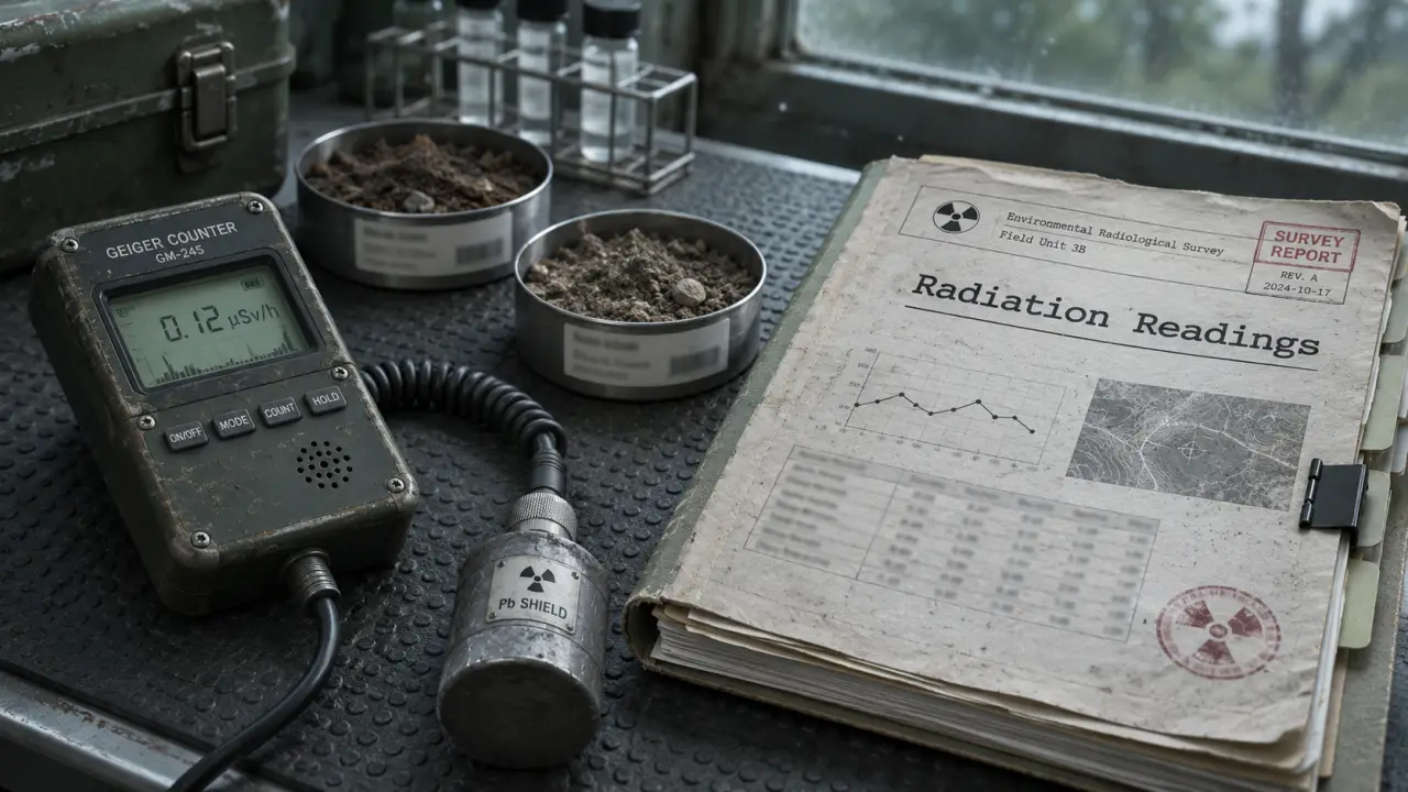
Two areas with elevated radiation readings have been found near Tollerton Park mobile home park on land where Nottinghamshire County Council wants to build 550 homes.
The affected ground, east of Gamston and north of Tollerton, is earmarked for public open space rather than housing. Planning documents appear to show trees in the area and allotments nearby.
Surveyors Radman Associates found no significant contamination across most of the former RAF land they checked in September. The two areas near the mobile home park boundary recorded up to 0.5 microsieverts per hour, against a background level of 0.07. The surveyors said average exposure from various sources of ionising radiation in the UK is 7.4 microsieverts a day.
They concluded that the readings did not represent a significant exposure risk in the site’s current state. Deeper trial pits around the site found nothing outside the normal range, but the surveyors could not rule out contamination further underground at the two affected areas. They said deeper checks would be needed if those areas were developed.
Aircraft were dismantled, burned and buried on part of the former RAF site, including luminous dials made with radium-226. A 2008 survey also found elevated levels in places, but did not consider them a significant radiation hazard.
Sarah Deacon, chair of Save Nottingham Airfield Group, said: “Much more intense investigation needs to be carried out in order for experts to be able to say definitively that it is safe.”
The county council’s plans also include a secondary school, an employment area and at least eight Gypsy and Traveller pitches. A proposed foot and cycle bridge over the A52 would connect the development with Gamston District Centre and West Bridgford via Beckside.
Conservative county councillor Richard Butler, who represents Tollerton, said contamination was causing concern among residents and raised worries about infrastructure, roads and access. The application is part of a wider scheme for around 4,000 homes; separate plans for privately owned land also await a decision.
Rushcliffe Borough Council will decide the outline application, reference 26/01891/OUT. Access is included for detailed approval; layout, landscaping and building designs would be considered later if outline permission is granted. The radiological reports are among the application documents.